
Technology & Data Resources
Advanced UAV technology delivering measurable, georeferenced aerial intelligence.
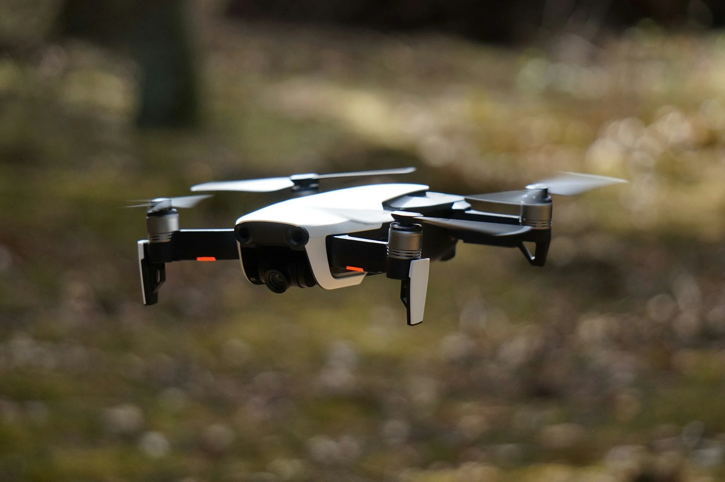
Technology is at the core of Sentinel SkyWorks’ operations. Our fleet of UAV systems utilizes cutting-edge sensors and advanced software to collect, process, and analyze aerial data with exceptional accuracy. We offer orthomosaic mapping, 3D photogrammetry, point-cloud modeling, and GIS-integrated deliverables that provide actionable insights for engineering, environmental, and commercial applications.
Our data workflows are designed for precision and efficiency—from mission planning and flight execution to data validation and client delivery. We ensure each dataset is securely stored, properly formatted, and optimized for seamless integration into professional platforms. Sentinel SkyWorks continues to evaluate emerging technologies to provide clients with the highest level of accuracy, compliance, and data-driven decision support available in the UAV industry.