
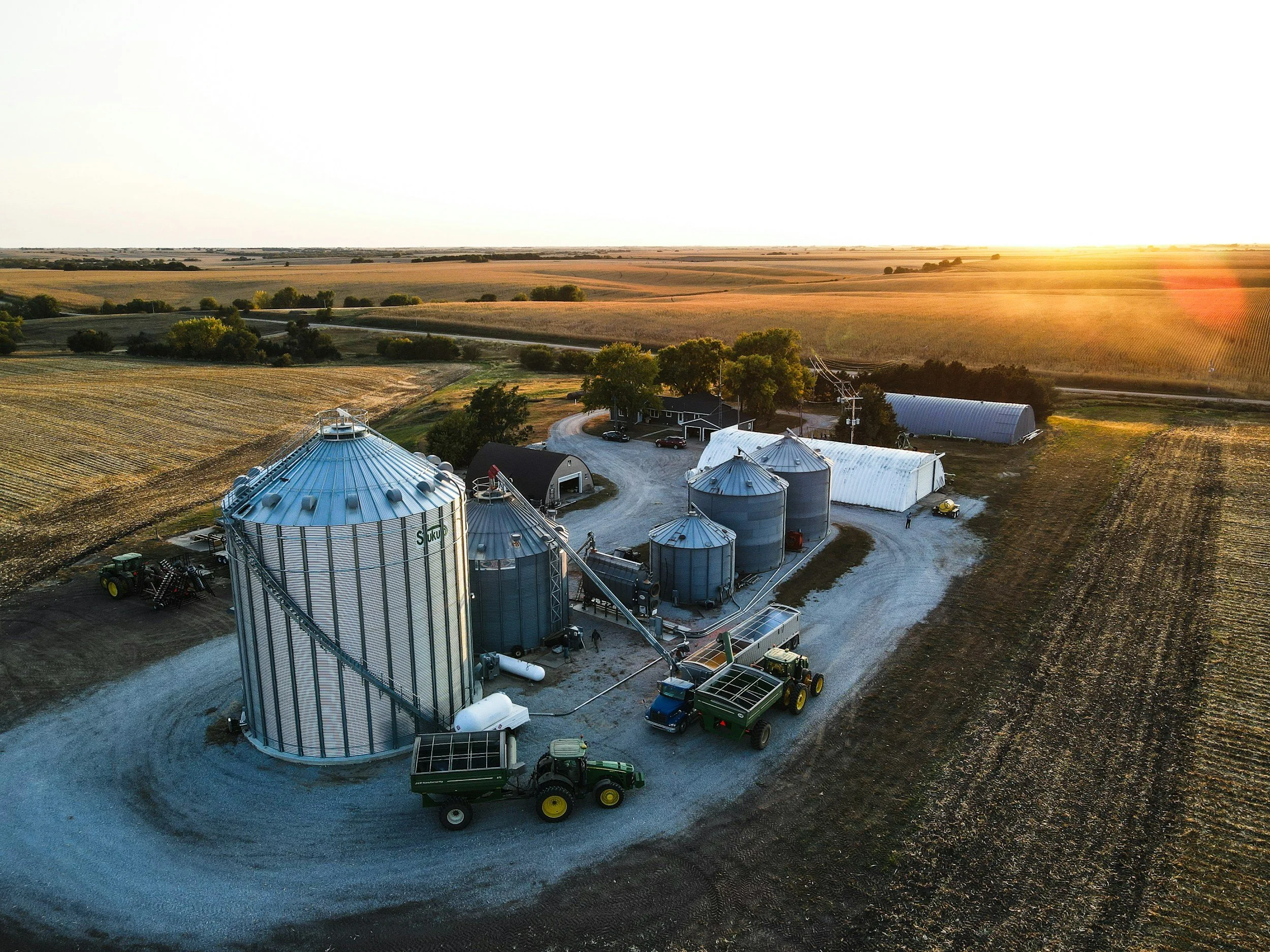
Land & Agricultural Mapping
Advanced drone imaging for precision agriculture, forestry, and rural land management—delivered with accuracy, transparency, and Truth in Advertising.
Sentinel SkyWorks empowers farmers, landowners, and resource managers with actionable aerial data designed to support informed decision-making, not assumptions. Using high-resolution RGB, thermal, and multispectral sensors, our UAV platforms capture visual data related to crop health, soil conditions, irrigation efficiency, and vegetation growth patterns—presented clearly and responsibly to avoid overstatement or misinterpretation.
These insights help landowners identify potential areas of concern, manage inputs more efficiently, and support productivity planning, while recognizing that aerial data is one component of a broader management strategy. Our services emphasize accurate visual representation rather than predictive or guaranteed outcomes.
Our mapping capabilities extend beyond agriculture to include forestry inventory, grazing assessment, erosion monitoring, and land-valuation visualization. We produce orthomosaic maps and 3D terrain models that assist with acreage analysis and long-term property planning, clearly identified as informational tools and not substitutes for engineering, surveying, or agronomic certifications.
Whether managing a commercial farm, timber tract, or multi-acre rural estate, Sentinel SkyWorks delivers precise, timely, and ethically presented aerial data—helping clients improve sustainability, planning, and operational insight while upholding Truth in Advertising standards.