
Construction & Engineering
High-precision aerial documentation and mapping for development, planning, and design.
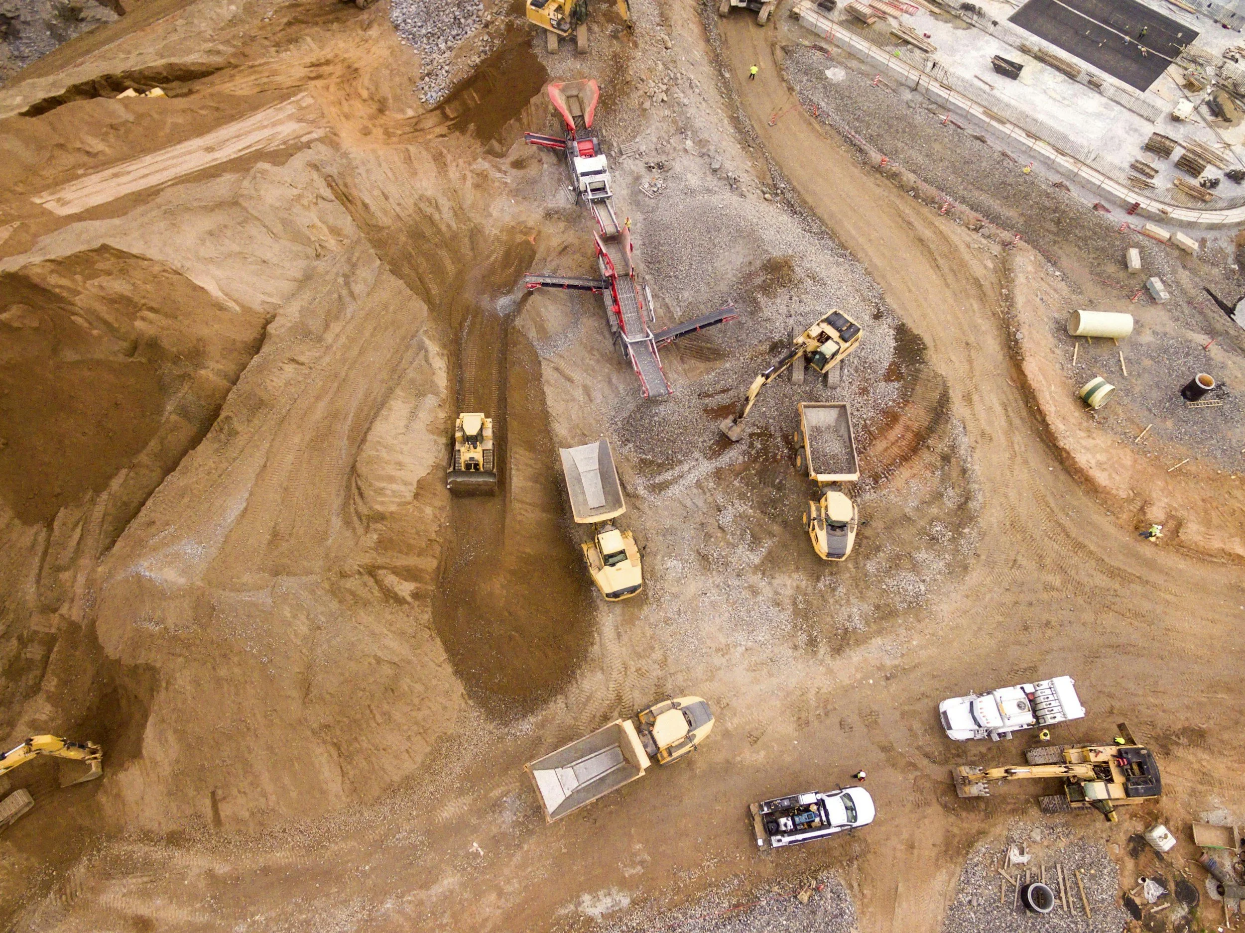
From groundbreaking to completion, Sentinel SkyWorks provides aerial data solutions that transform the way construction and engineering projects are managed. Our drone-based imaging captures detailed progress updates, volumetric stockpile calculations, and orthomosaic maps that help teams track progress, verify work completion, and enhance coordination across job sites. With accurate topographic and 3D modeling, project managers can identify deviations early, optimize logistics, and ensure compliance with project specifications.
We serve developers, contractors, engineers, and survey teams seeking real-time visual intelligence without disrupting active work zones. Each flight is executed with precision, FAA compliance, and rigorous safety oversight. By combining aerial imaging with photogrammetric analysis, Sentinel SkyWorks gives clients the ability to visualize complex sites, manage timelines more effectively, and make data-driven decisions that protect budgets and reputations alike.