
Public Safety & Government Resources
Aerial support for emergency response, public safety operations, infrastructure assessment, and community planning.
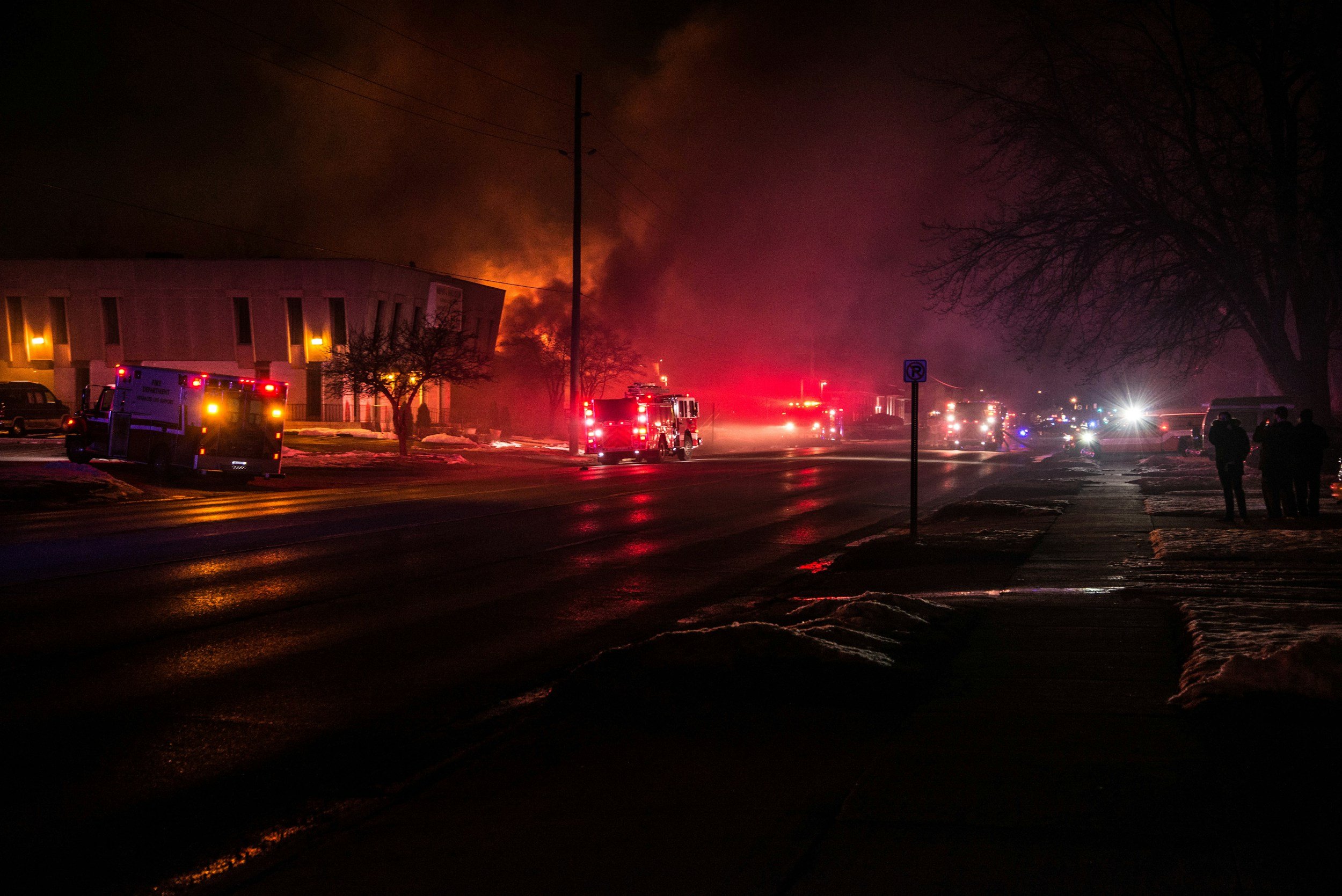
Sentinel SkyWorks provides dependable UAV support services for public-safety organizations and government agencies requiring accurate, timely, and mission-critical aerial data. Our operations support law enforcement, fire departments, emergency management teams, and municipal planners through a range of applications, including post-incident documentation, traffic and crowd-flow analysis, disaster-response mapping, aerial surveillance support, and aerial suspect tracking assistance when conducted under authorized public-safety operations.
We also deliver infrastructure and asset inspection services for utilities, public works, and transportation departments, enabling agencies to safely and efficiently assess bridges, roadways, facilities, and other critical assets. All missions are conducted in coordination with the requesting authority and under applicable operational authorizations. Our team is trained to operate in complex environments while maintaining strict compliance with FAA regulations, local ordinances, and agency-specific policies.
Every public-sector mission we undertake prioritizes data security, operational integrity, and inter-agency coordination. Sentinel SkyWorks serves as a trusted aerial support partner, enhancing situational awareness and decision-making in support of public safety, emergency response, and community planning objectives.