
Environmental & Natural Resources
Precision aerial data and imagery for environmental analysis, conservation, and land management.
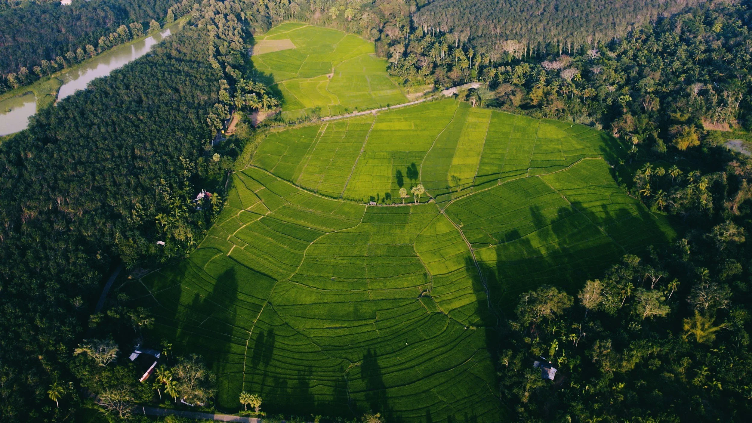
Sentinel SkyWorks provides specialized aerial imaging and mapping solutions for environmental professionals, conservationists, and government agencies. Our FAA Part 107 Certified pilots and advanced UAV platforms capture high-resolution optical, thermal, and multispectral imagery that reveal critical environmental insights—such as vegetation density, erosion patterns, watercourse changes, and habitat boundaries. These tools allow for more accurate assessments of ecosystem health, stormwater management, and reclamation progress.
Our technology is ideal for forestry inventory, watershed analysis, wetland delineation, and restoration planning. We collaborate with natural-resource managers, environmental consultants, and researchers to deliver actionable geospatial data while maintaining minimal ecological impact. All operations are conducted in strict adherence to DCNR, DEP, and EPA regulations, ensuring our work not only meets professional standards but supports long-term sustainability and stewardship.